NOAA predicts below‑average 2026 Atlantic hurricane season as El Niño set to tamp down storms
NOAA’s official outlook for the 2026 Atlantic hurricane season forecasts a below‑average year, driven largely by an anticipated robust El Niño expected to suppress tropical storm formation despite warmer‑than‑average Atlantic sea surface temperatures and poses forecasting uncertainty.
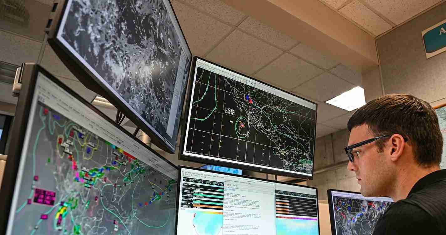
- NOAA forecast: NOAA seasonal outlook briefing (video) calls for 8–14 named storms, 3–6 hurricanes, and 1–3 major hurricanes for June 1–Nov. 30.
- Probability and pattern: NOAA gives roughly a 55% chance of a below‑normal Atlantic season and expects above‑normal activity in the eastern and central Pacific.
- Independent outlook: WUFT reporting on NOAA outlook summarizes Colorado State University’s April forecast of 13 named storms, 6 hurricanes and 2 major hurricanes — broadly in line with NOAA.
- Local implications: A strong El Niño may bring wetter Southern California winters; Imperial Valley residents and officials should prepare for variable water deliveries, potential flooding and infrastructure impacts.
NOAA’s outlook: numbers and confidence
Ranges, not point estimates: NOAA presents a range to reflect uncertainty — 8–14 named storms (≥39 mph), 3–6 hurricanes (≥74 mph), and 1–3 major hurricanes (Category 3+, ≥111 mph). The upper end is near climatology; middle and lower ends imply a noticeably quieter season.
Forecasters attach probabilities to this outlook: about a 55% chance the Atlantic season will be below normal. Simultaneously, NOAA expects above‑average activity in the eastern and central Pacific — a hallmark of El Niño. See the NOAA seasonal outlook briefing (video) for full context.
Why El Niño matters for the 2026 Atlantic hurricane season
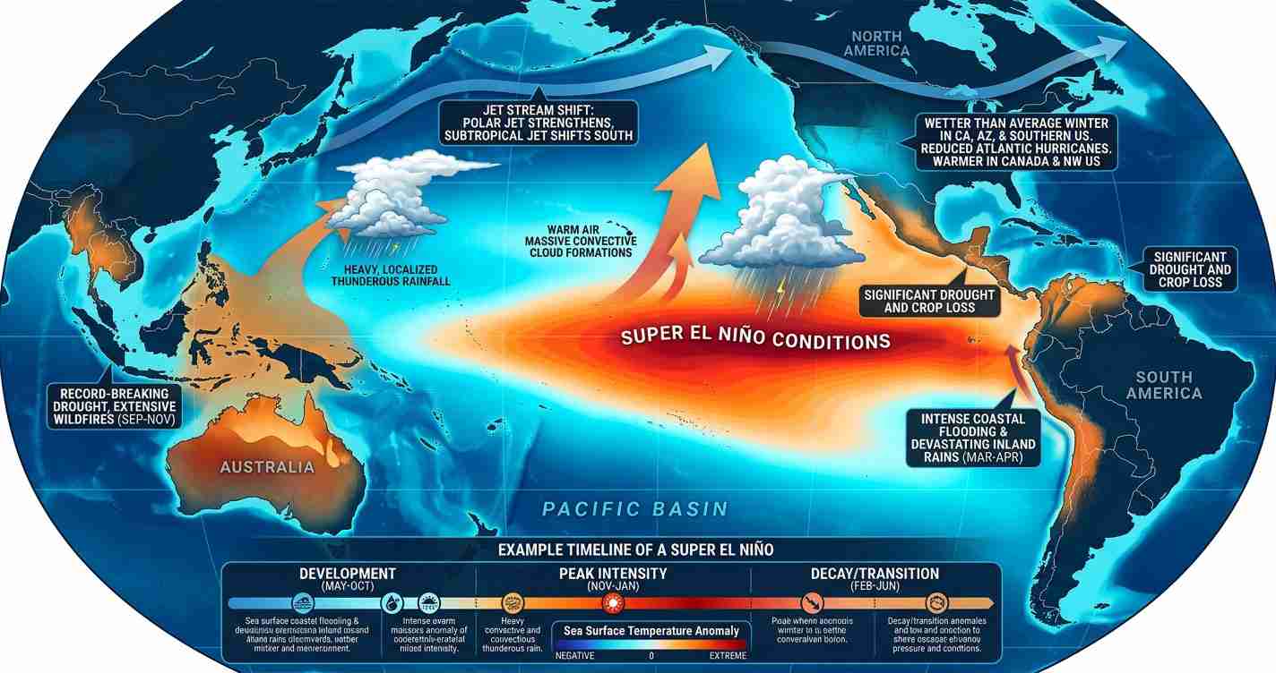
ENSO basics: El Niño is a phase of the El Niño‑Southern Oscillation that warms the central and eastern tropical Pacific, alters atmospheric circulation, and often increases wind shear over the Atlantic — a key suppressor of tropical cyclone development. See the NOAA Climate.gov ENSO explainer.
In practical terms, El Niño tends to:
- Increase upper‑level wind shear that can “slice off” developing storms.
- Stabilize the atmosphere, making tall convective towers less likely to form.
- Shift tropical energy toward the eastern and central Pacific, where storm counts often rise during El Niño years.
NOAA forecasters say a robust El Niño is likely to “win” over slightly warmer Atlantic waters in 2026, meaning El Niño’s suppressive effect could outweigh factors that would normally boost activity. Timing matters: a later‑forming El Niño could allow early Atlantic storms to develop before suppression strengthens.
How this compares with independent forecasts
Colorado State University’s seasonal forecast (summarized in reporting) called for 13 named storms, 6 hurricanes, and 2 major hurricanes in April — a view that also emphasizes a dominant El Niño leading to a quieter season. See WUFT reporting on NOAA outlook for coverage of CSU’s outlook and context.
Balancing warm Atlantic waters vs. El Niño suppression
Scientific tension: Atlantic sea surface temperatures are somewhat warmer than average — a factor that typically fuels storms — while El Niño increases shear and stability. NOAA’s forecast reflects the expectation that El Niño will likely be the stronger influence, but it is not a guarantee of a quiet season.
“A single storm can cause major damage regardless of the season’s total counts.” — NOAA forecasters
NOAA provides probabilities rather than certainties and reminds communities to prepare regardless of seasonal numbers. For discussion of ENSO strengths and impacts, see the CPC discussion of ENSO strengths and impacts.
Timing and what to watch for during the season
Climatology: the first named storm typically forms around June 20 and the first hurricane around Aug. 11. El Niño’s strongest suppressive effects most often occur during the seasonal peak of August–October, when increased shear limits storm growth. However, local conditions — especially in the Gulf of Mexico and western Caribbean — can still produce early storms that escape large‑scale suppression.
What experts say about risk
Preparedness message: Seasonal forecasts are planning tools, not landfall predictors. Veteran forecasters stress that a below‑average season does not equate to low risk for any particular coastline. Even one storm making landfall in a populated or vulnerable area can be devastating.
Implications for The Imperial Valley, California
Overview: The Imperial Valley is far from the Atlantic, but El Niño and Pacific storm patterns can influence regional winter precipitation. A strong El Niño often raises the odds of wetter Southern California winters, with both benefits and hazards for the valley.
Economic impact
Wetter winters could reduce irrigation needs and lower some costs for growers, but heavy rains may flood fields, damage infrastructure, and disrupt planting and harvest schedules. Local water districts, crop insurers and agricultural managers should monitor forecasts and consider contingent water and flood plans.
Political consequences
Local officials may face scrutiny over flood control funding, emergency staffing and water management. Early action — inspecting canals, maintaining pumps and lining up emergency resources — can reduce political and practical fallout if heavy rains occur.
Social effects
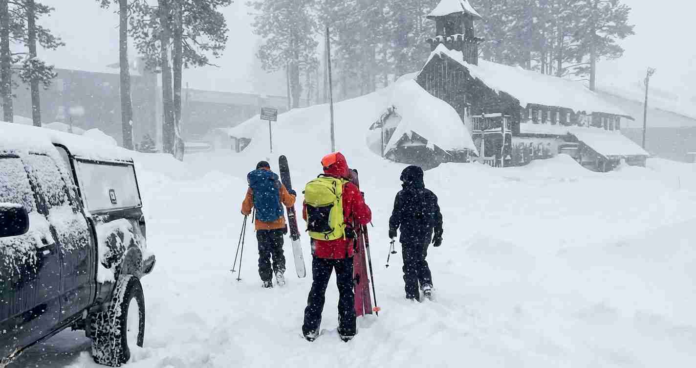
Stronger winter storms can disrupt daily life, particularly in low‑lying neighborhoods and farmworker housing near canals. Risks include road closures, power outages and temporary displacement; public health and social services should prepare to support vulnerable residents and migrant workers.
Cultural relevance
Water shapes life and economy in the Imperial Valley. Conversations about El Niño and the 2026 hurricane season will likely connect to long‑standing local concerns — water rights, crop yields and the trade‑offs between flood control and irrigation.
Practical applications for residents and local leaders
- Monitor official forecasts: follow NOAA Climate.gov ENSO explainer and the National Weather Service background on El Niño and La Niña, along with local county alerts.
- Review emergency plans: check drainage, secure loose items, and know evacuation routes.
- For growers: coordinate with water districts and insurers; develop contingency plans for both wetter and drier outcomes.
- For officials: inspect storm drains and canals now, coordinate with state emergency management, and prepare public messaging about flood readiness and water conservation.